Where we film
Drone filming locations in Sri Lanka
These are places we have flown and photographed ourselves. Every photo on this page was taken with our own drones. We film in many other places too, so ask about yours.
Sigiriya, Dambulla and the Cultural Triangle
The flat forest around Sigiriya is broken by huge rocks. From the air you see the Sigiriya rock fortress with Pidurangala rock beside it, and big reservoirs such as Kandalama near Dambulla and Moragahakanda further east. The Mahaweli River winds through the forest near Somawathiya.
Planning notes
- Sigiriya and the Dambulla cave temple are protected archaeological sites. Flying over them needs a special approval from the heritage authorities as well as the normal drone approval, and it is not always given.
- Many hotels in this area sit close to these sites, so check the exact spot on the official drone map before planning a hotel shoot.
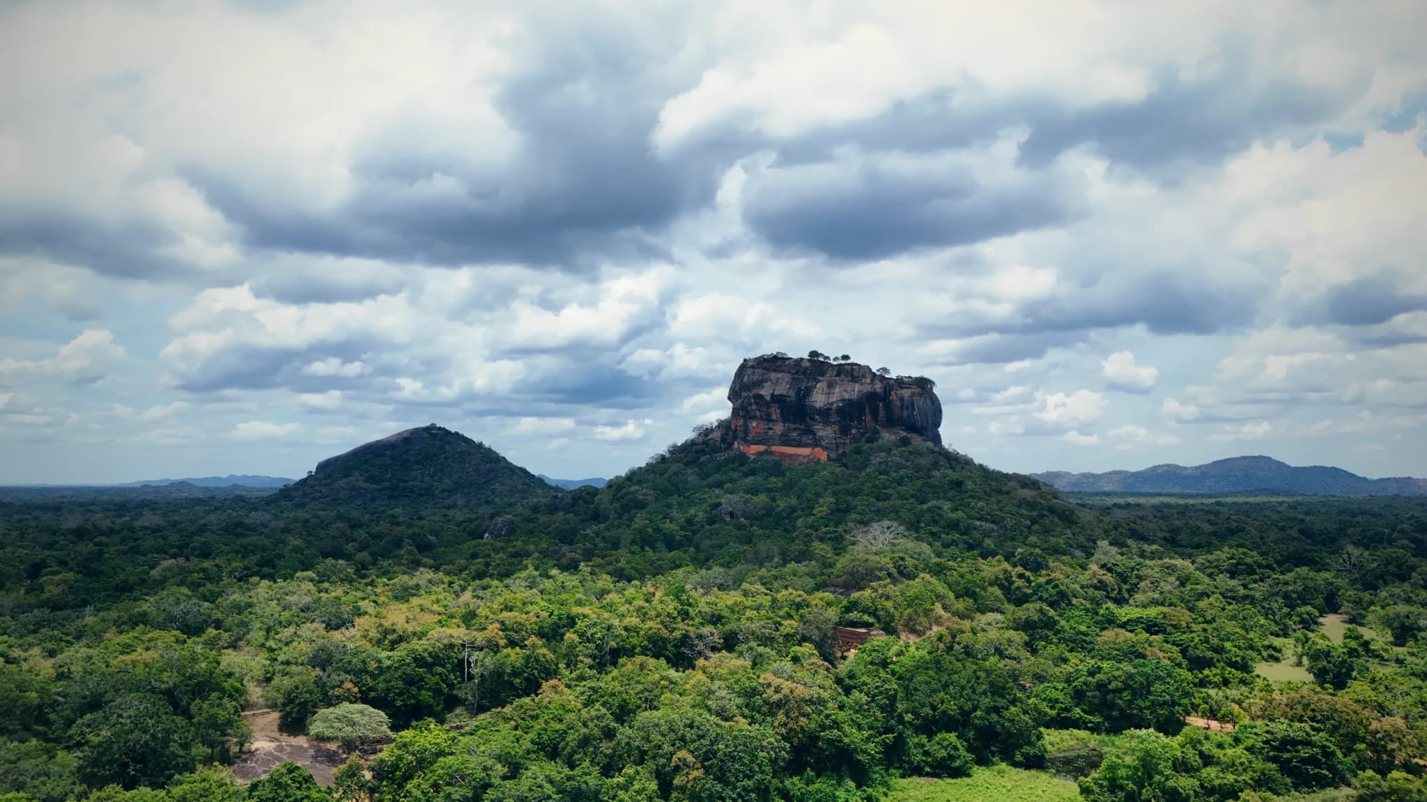
Sigiriya Rock and Pidurangala
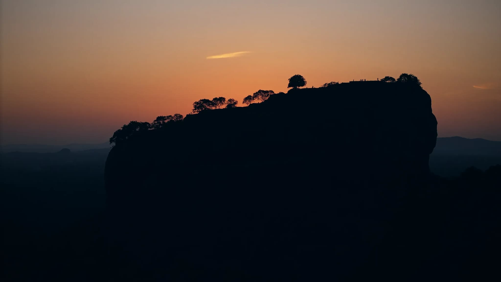
Sigiriya at Sunset
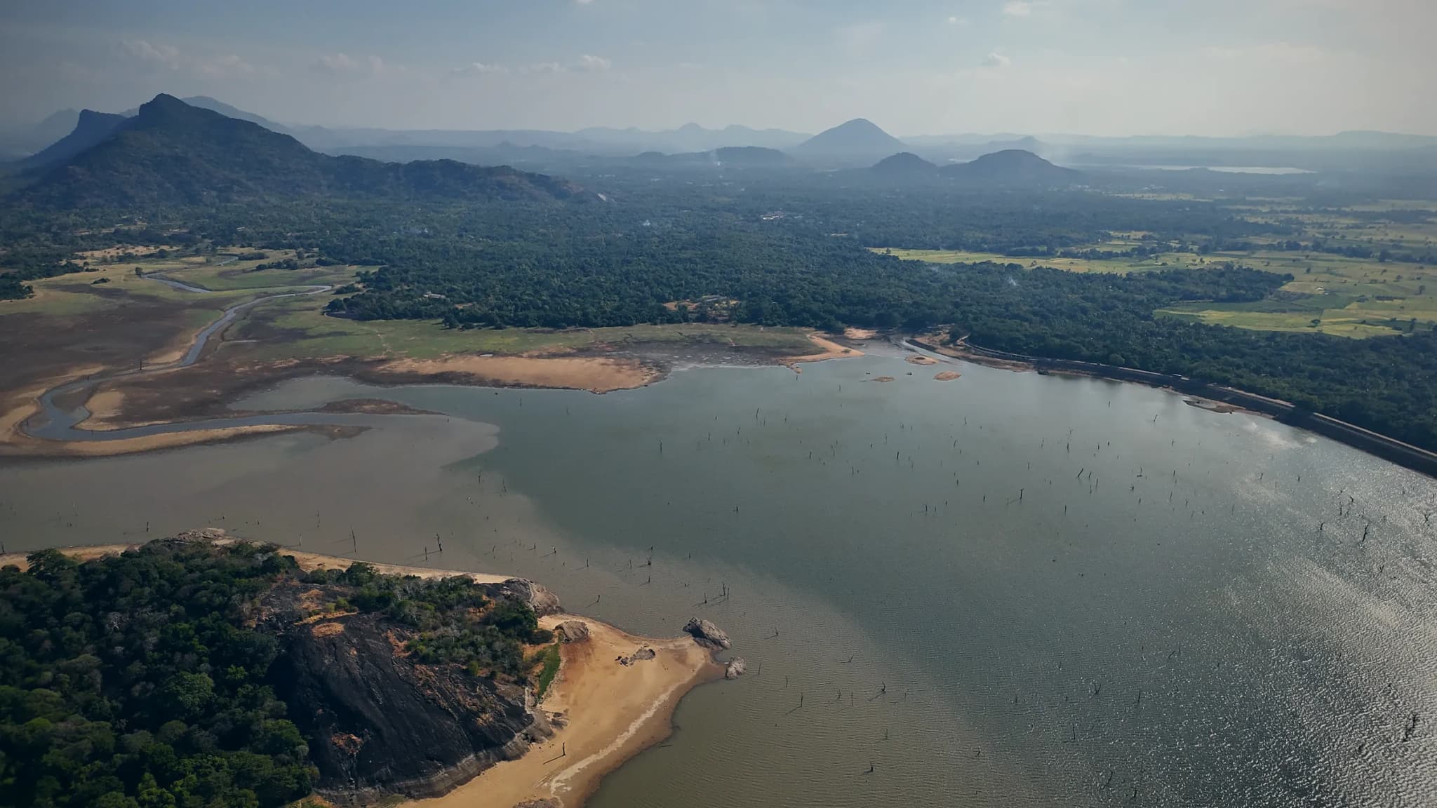
Kandalama Reservoir
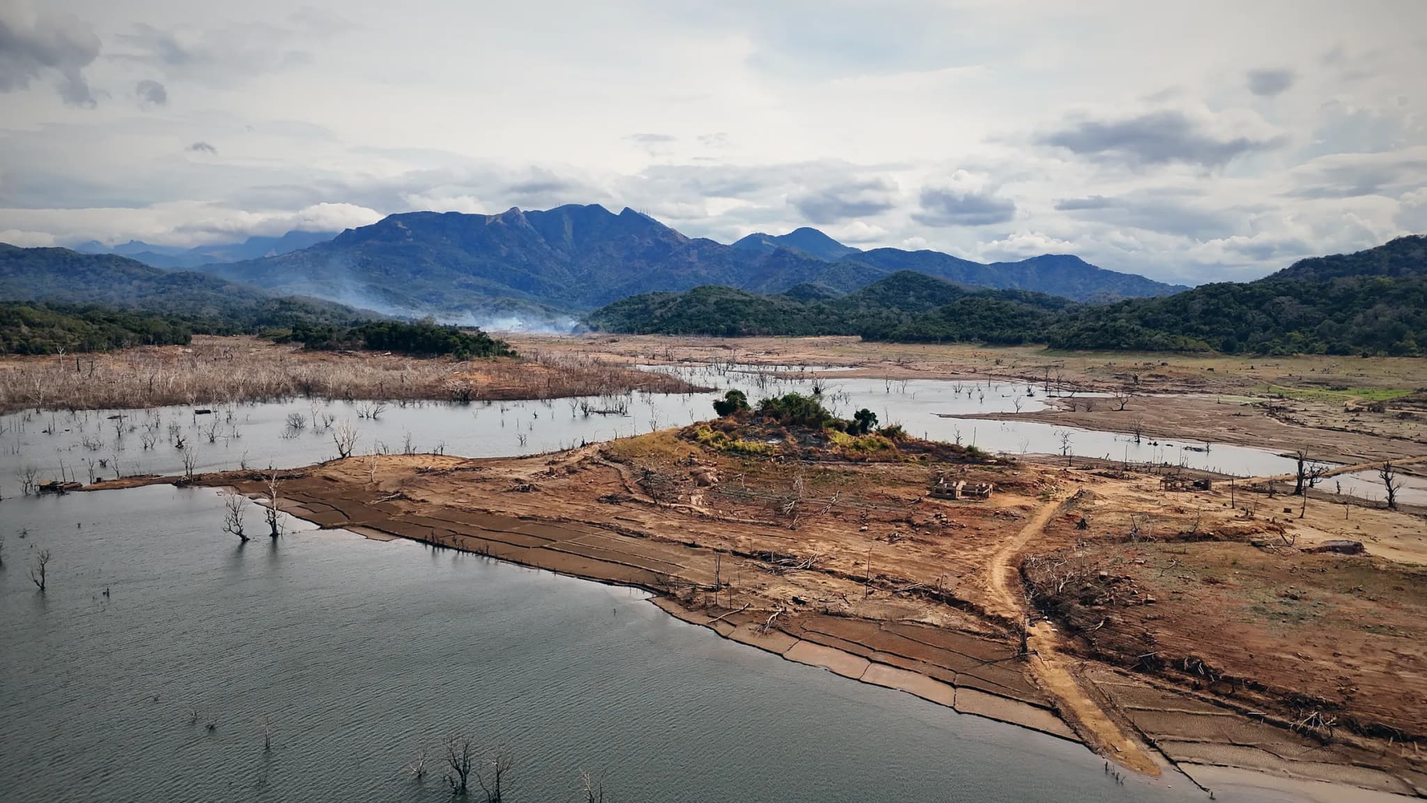
Moragahakanda Reservoir
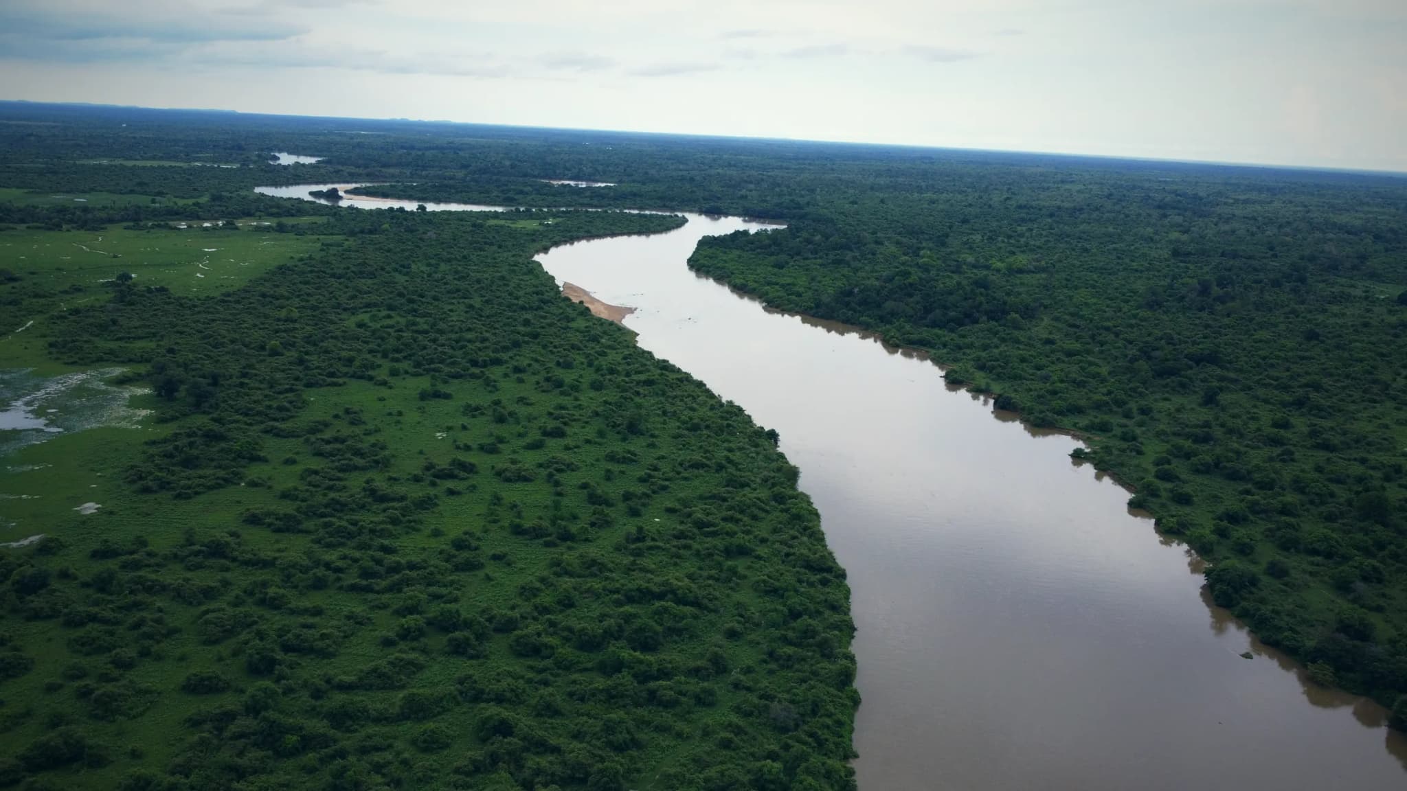
Mahaweli River
Kandy and the Knuckles range
Kandy is a lake city in the hills. East of it, the Knuckles range has sharp peaks, forest, old rice terraces and remote villages such as Meemure, below the steep peak of Lakegala.
Planning notes
- Kandy Lake is next to the Temple of the Tooth, one of the most important Buddhist sites in the country, and the area is busy with people.
- Much of the Knuckles range is protected forest. Check each spot before you plan a flight there.
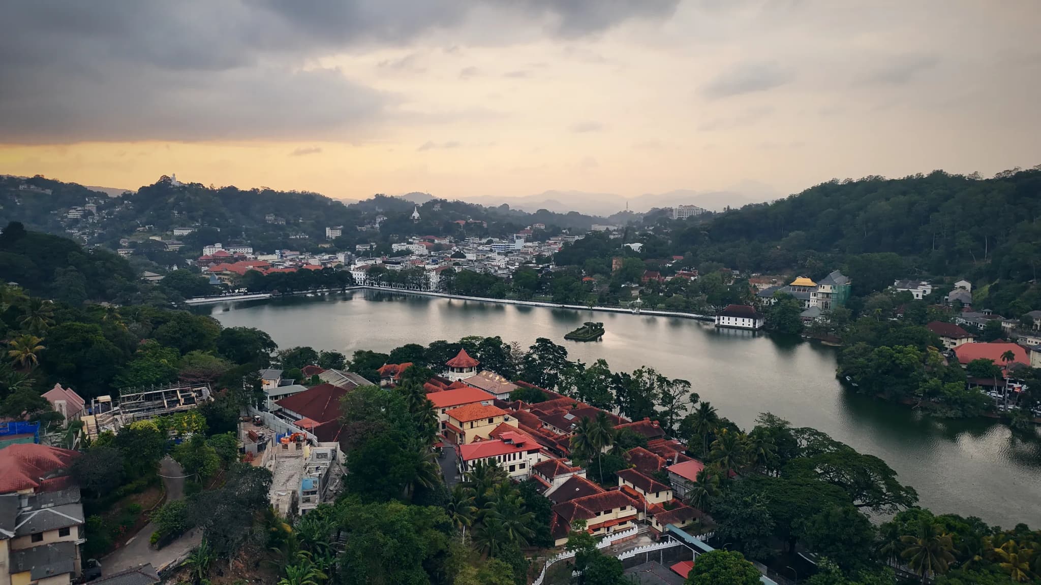
Kandy Lake at Dusk
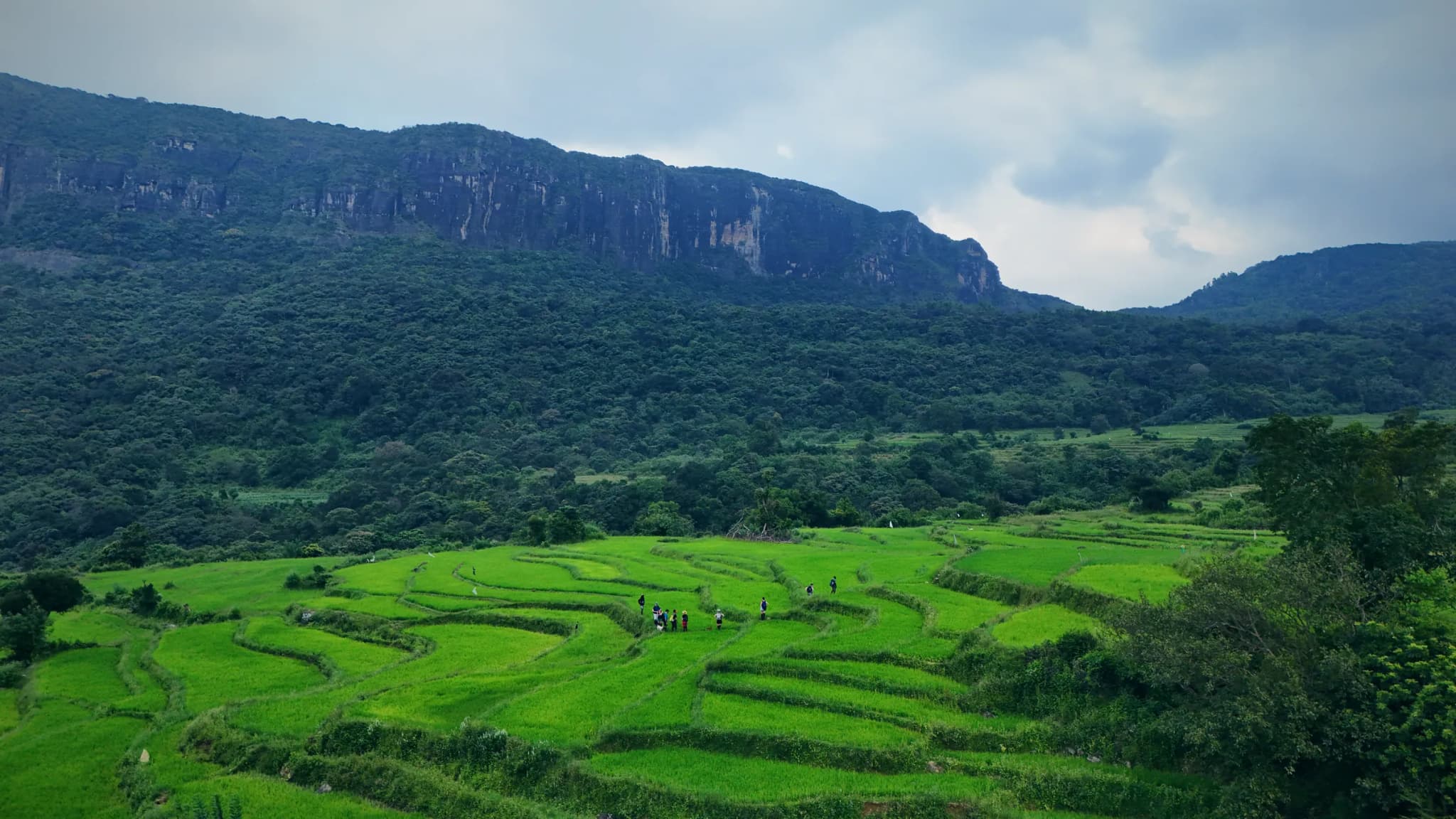
Rice Terraces, Knuckles Range
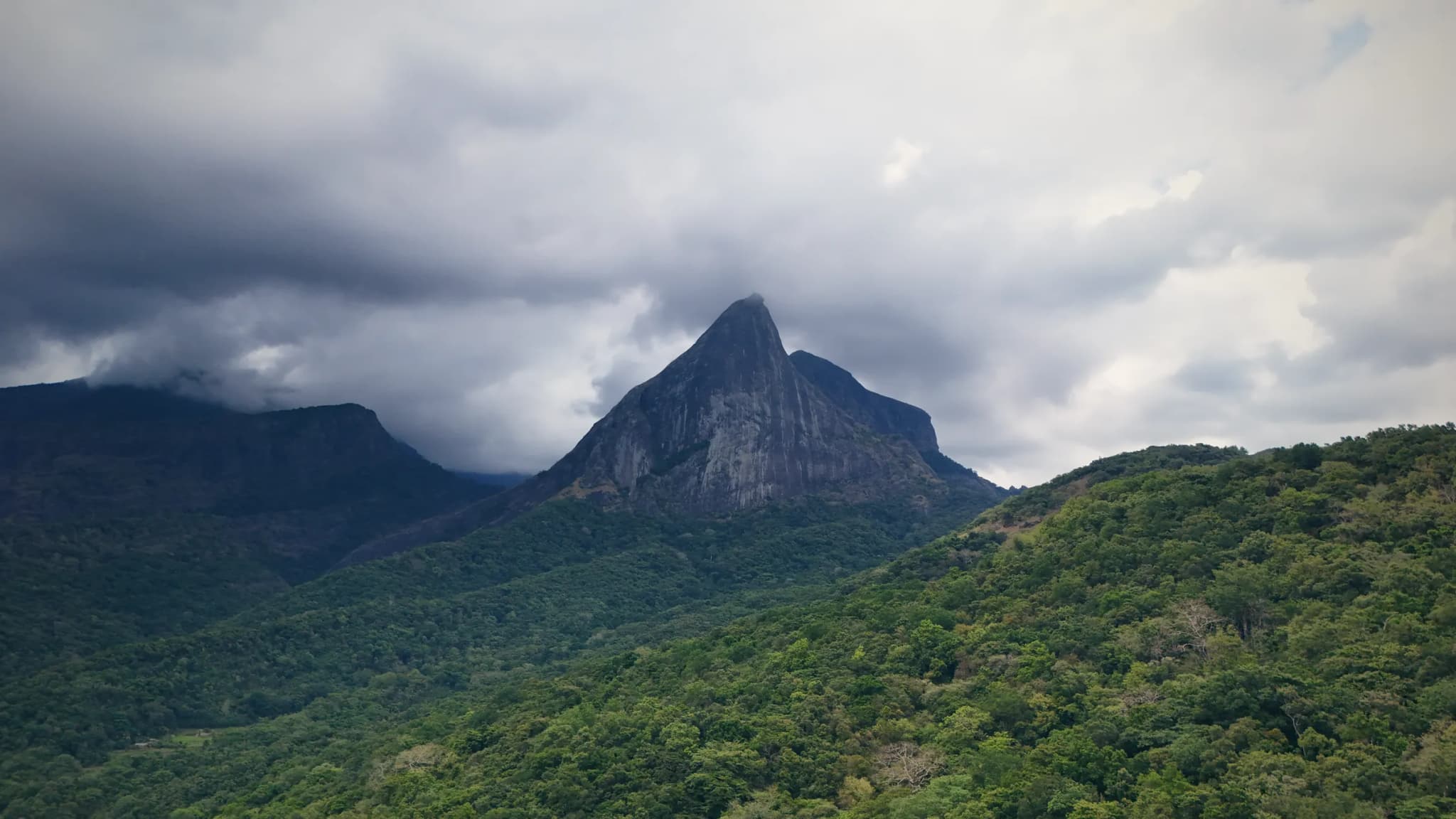
Lakegala Peak, Meemure
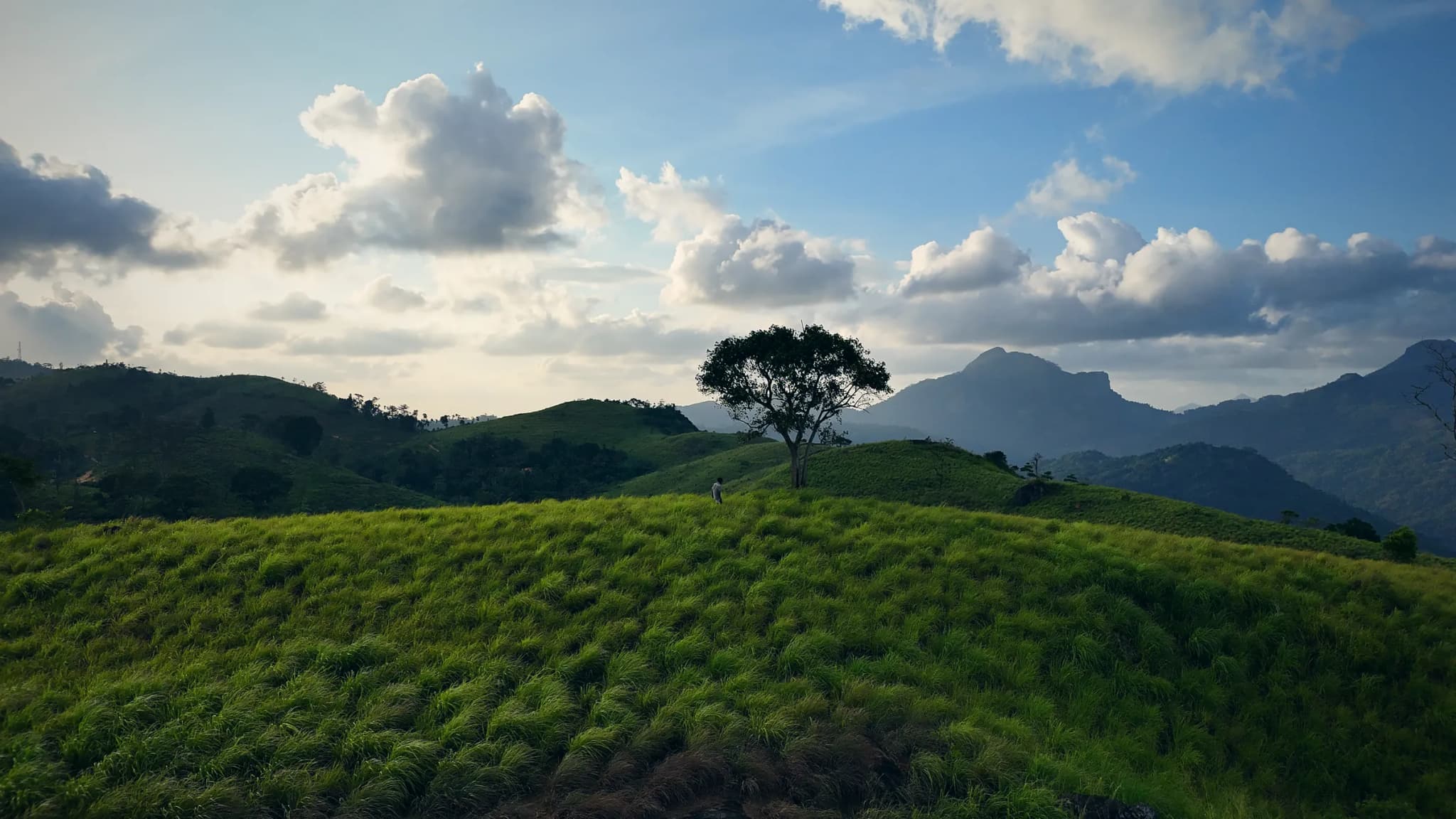
Theppukulama Mountain
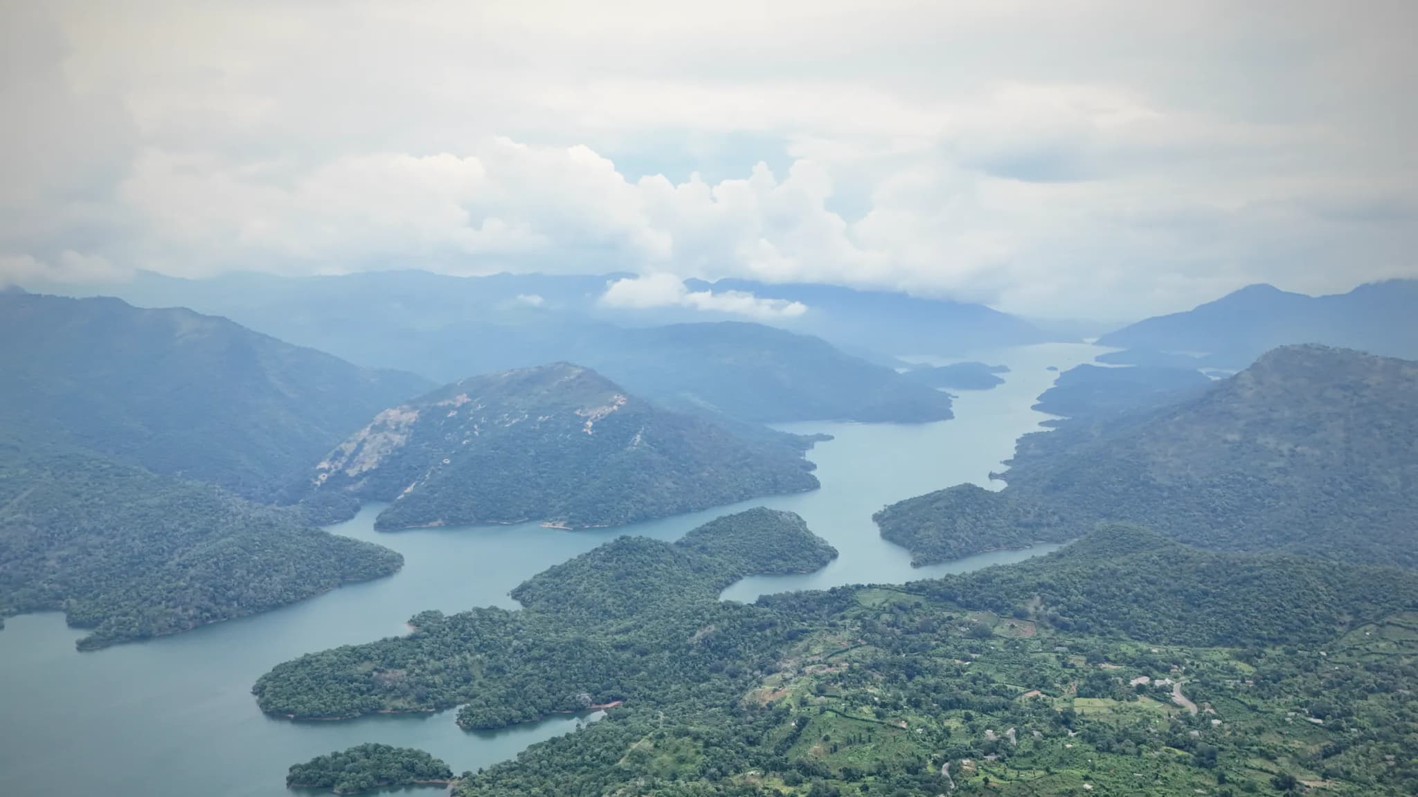
Mahaweli Reservoir from the Hills
Ella and the hill country
Around Ella the hills are covered in tea estates, with the Nine Arch Bridge close to town. Early mornings in the central hills can bring a sea of clouds below the peaks, which is one of the best sights from a drone.
Planning notes
- Mist and low cloud are common in the hills. The rules do not allow drone flights in low visibility, so we plan around clear windows.
- The Nine Arch Bridge is crowded at train times. Drones must keep a safe distance from people and never fly over a crowd.
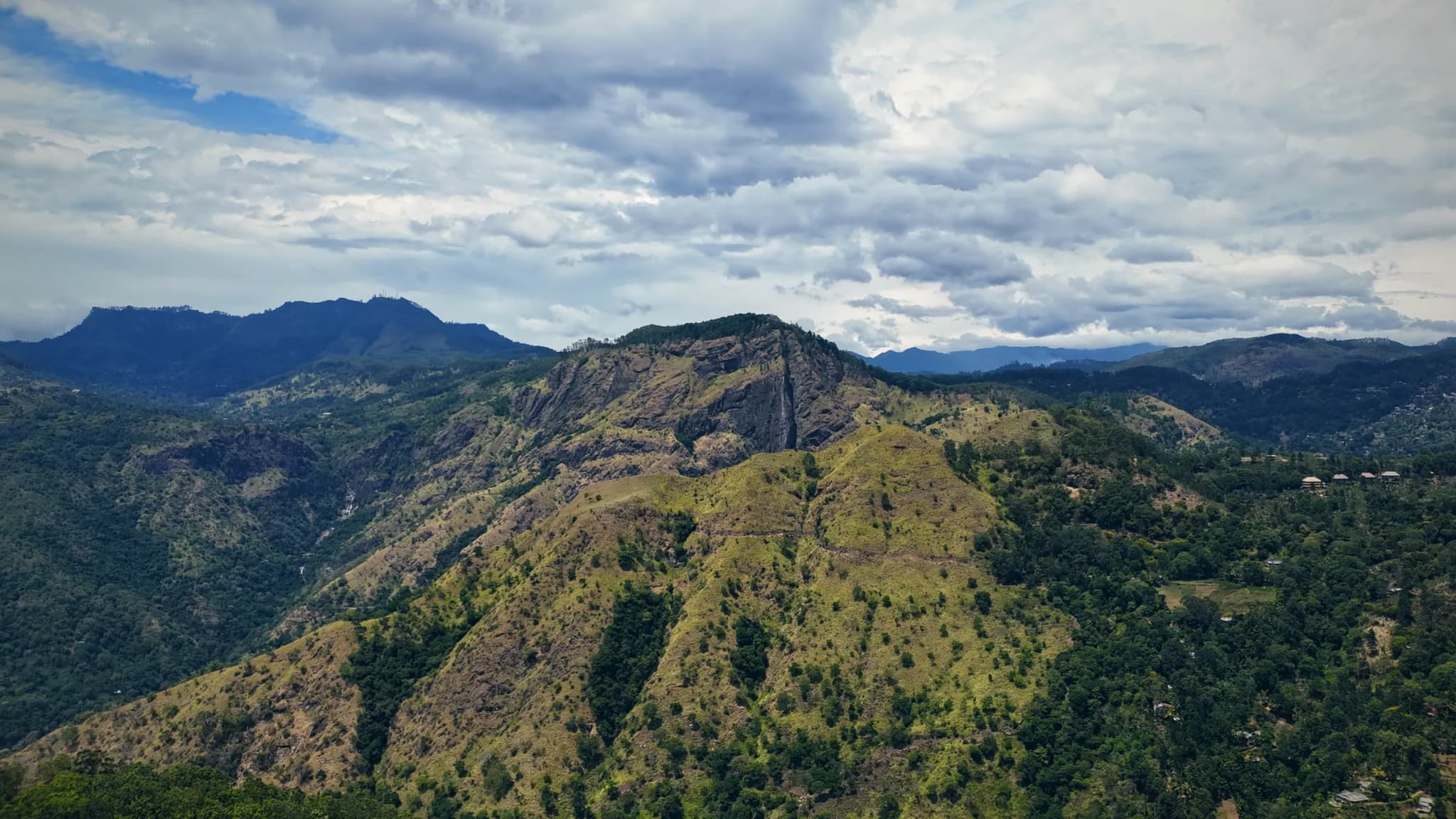
Hills around Ella
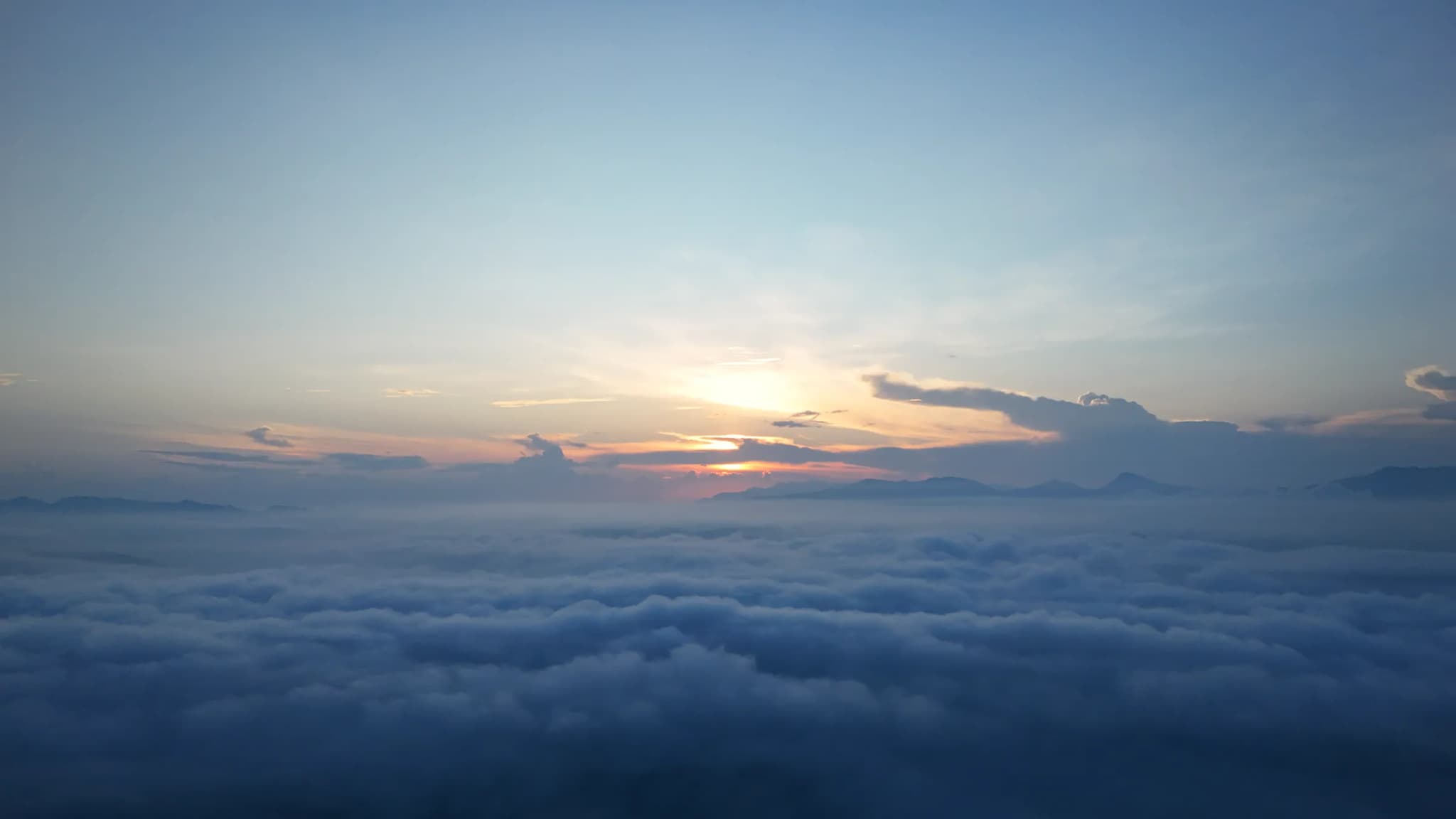
Sea of Clouds at Sunrise
Waterfalls of the central hills
The central hills have some of the tallest waterfalls in Sri Lanka. Bambarakanda is the tallest in the country. Aberdeen, Gartmore and Lakshapana are in the tea country near Hatton and Maskeliya, and Bomburu Ella is in Uva Province.
Planning notes
- Waterfalls are fullest during and after the rains, but drones cannot fly in rain, so a shoot needs a dry window.
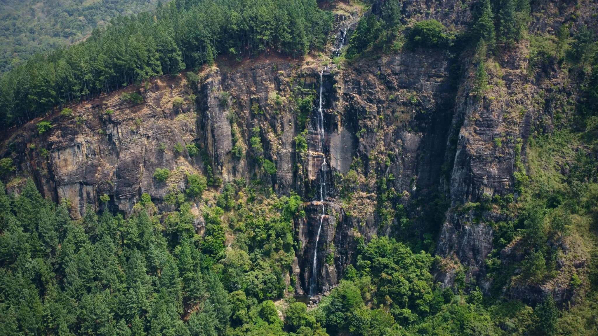
Bambarakanda Falls
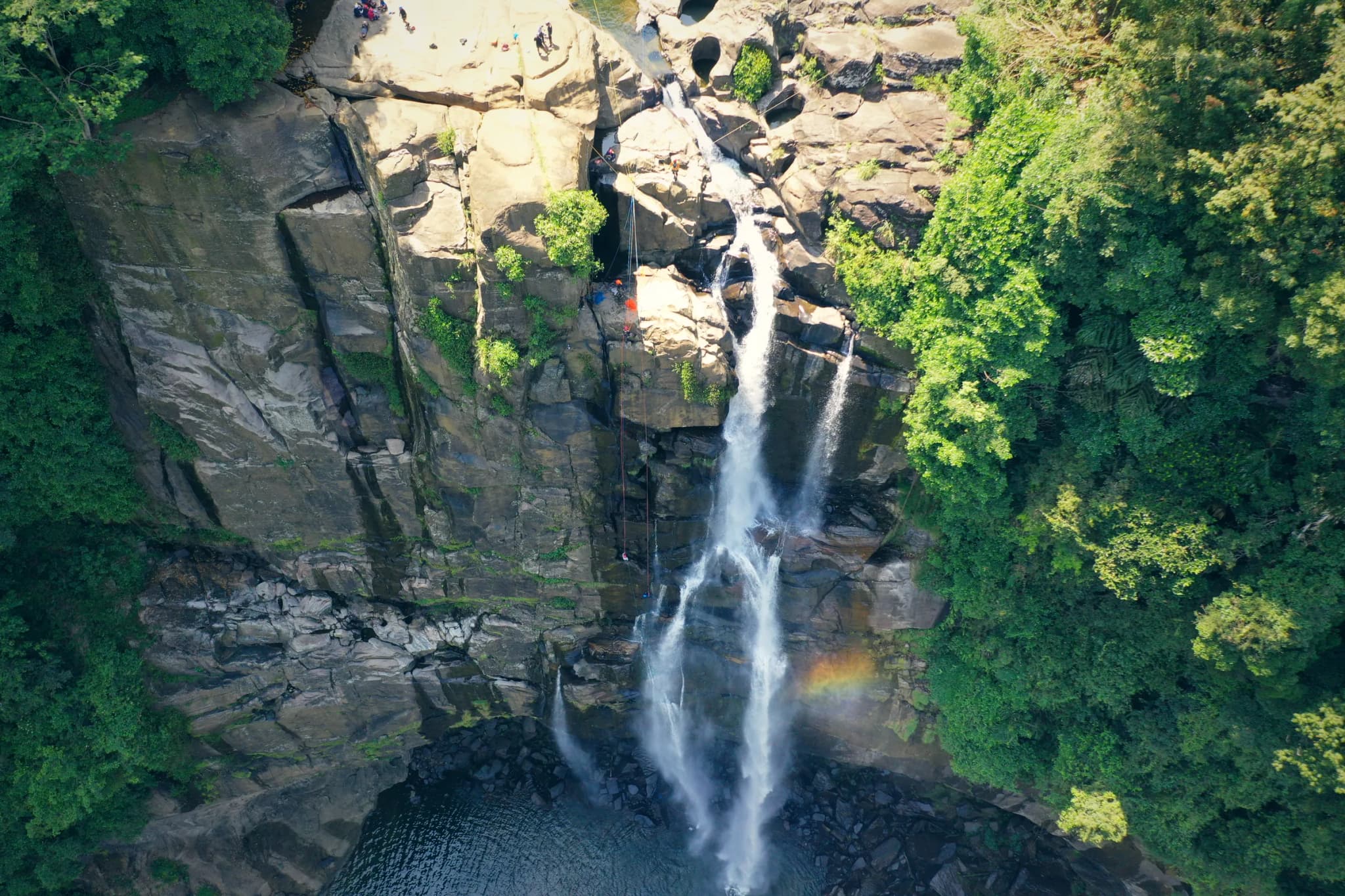
Aberdeen Falls
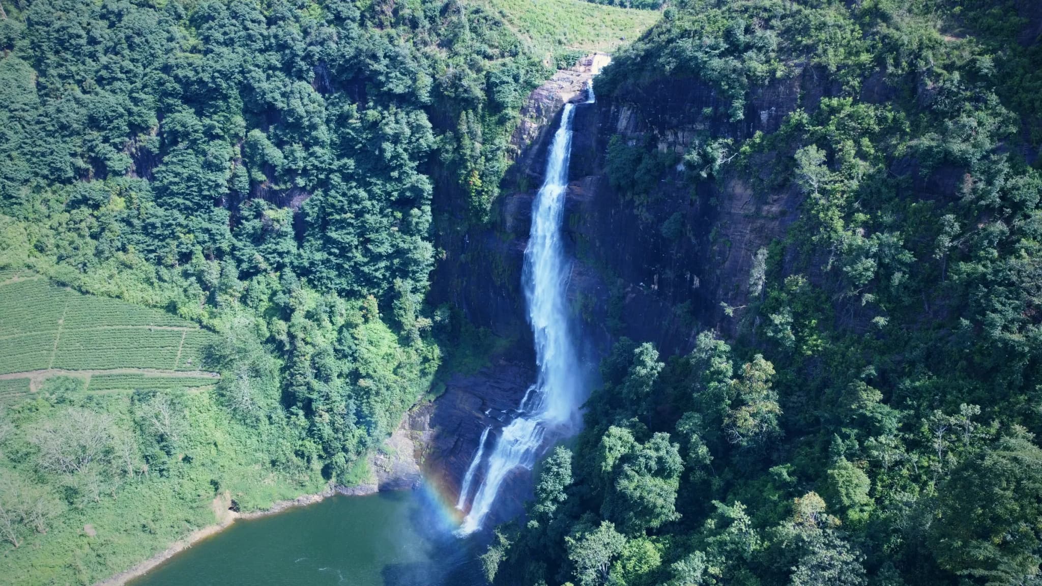
Gartmore Falls
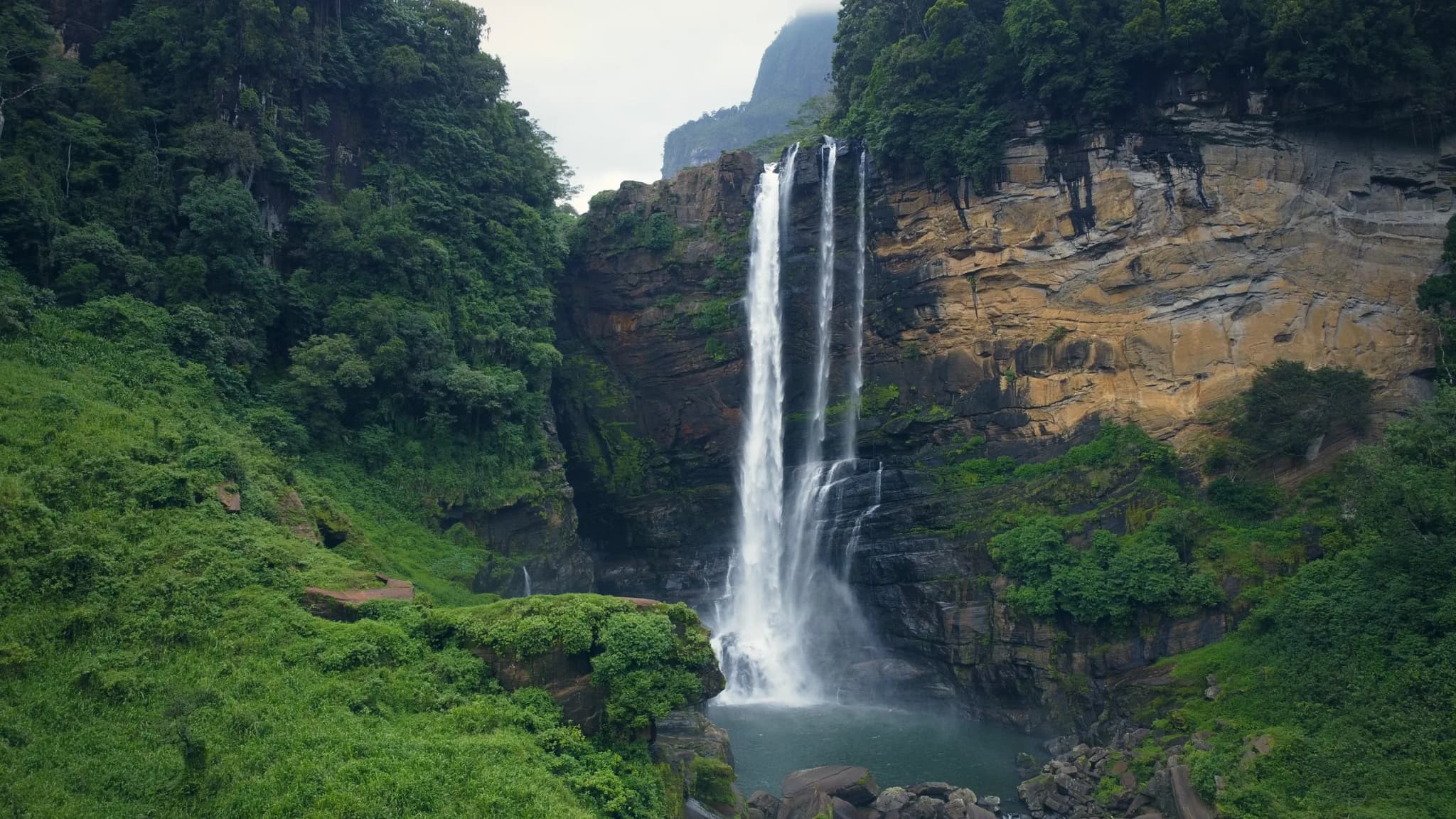
Lakshapana Falls
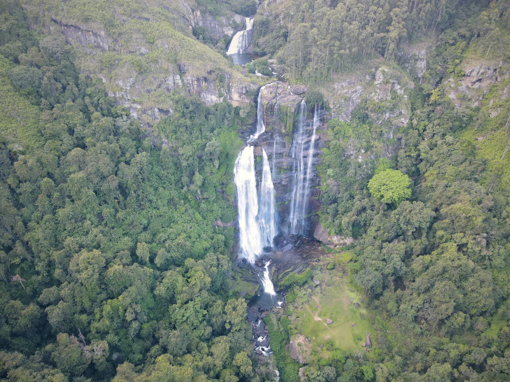
Bomburu Ella
The south coast
Hiriketiya is a small horseshoe bay near Dickwella, popular with surfers. Bays like this show well from above: the shape of the beach, the reef and the surf breaks.
Planning notes
- The south and west coasts get most of their rain from May to September, during the southwest monsoon.
- Beaches are public places, so the drone keeps away from other people and never flies over a crowd.
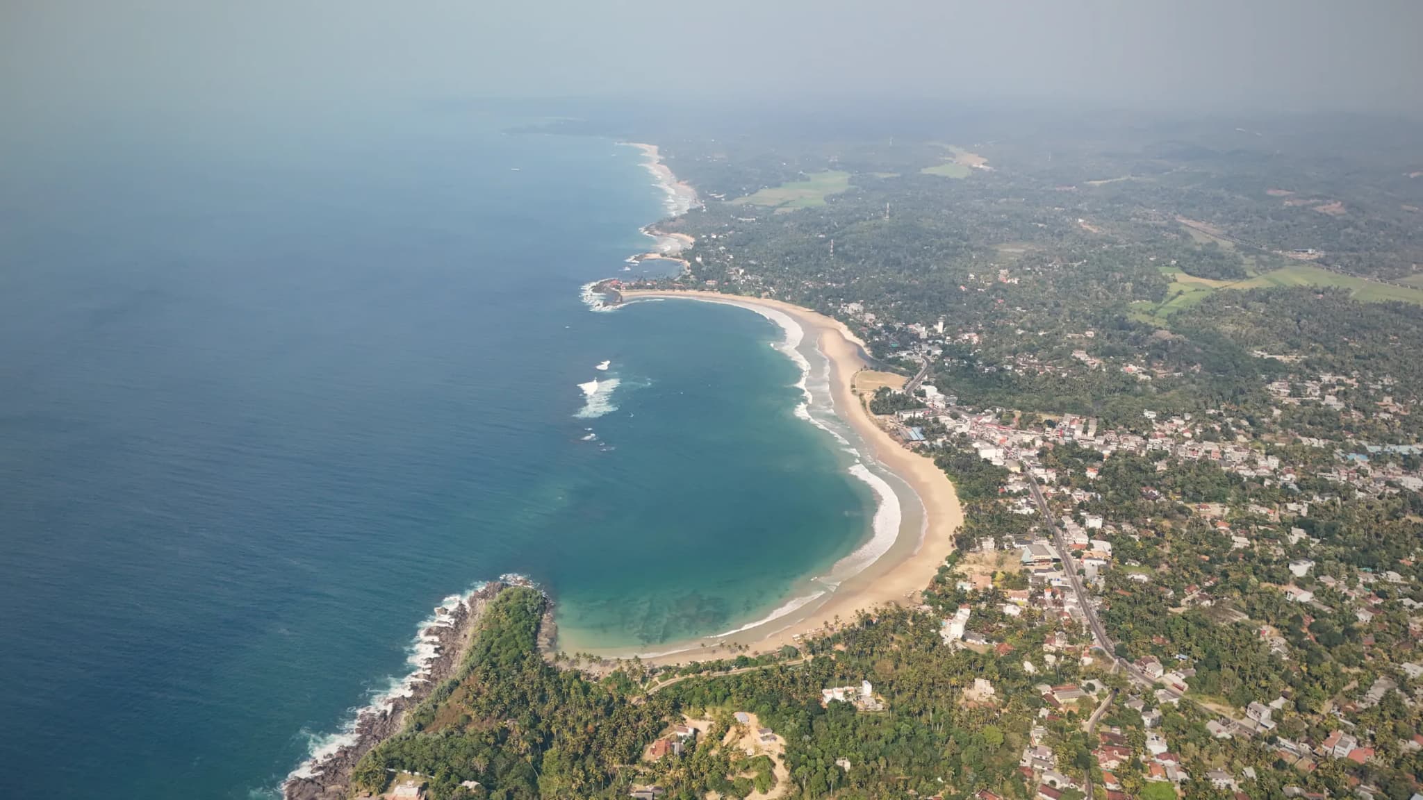
Hiriketiya Bay
Kalpitiya and the northwest coast
Kalpitiya has a long lagoon and sand islands off the coast, with clear shallow water that shows its colours from the air. Further north, at Arippu in Mannar, the ruins of the Doric, an old colonial house, stand on the sea cliff.
Planning notes
- We check each spot on the official drone map before we plan a shoot on this coast.
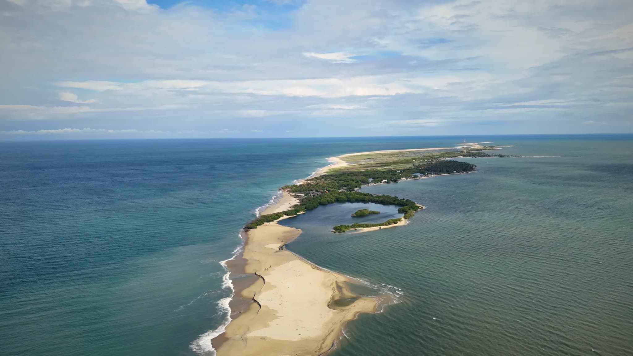
Sand Islands off Kalpitiya
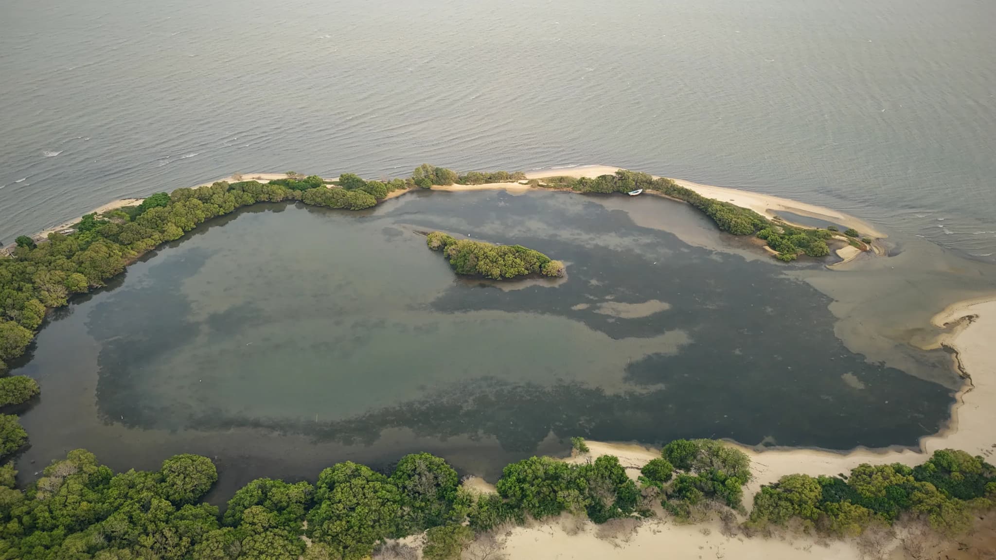
Island Lagoon off Kalpitiya
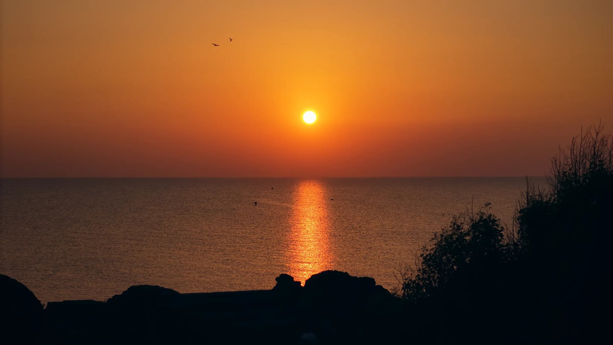
Sunset at the Doric, Arippu
Arugam Bay and the east coast
Arugam Bay has lagoons, rocks and long beaches. It is one of the best known surf spots in Sri Lanka.
Planning notes
- The east coast is usually drier from May to September, when the southwest monsoon brings rain to the other side of the island. From December to February the northeast monsoon brings rain here.
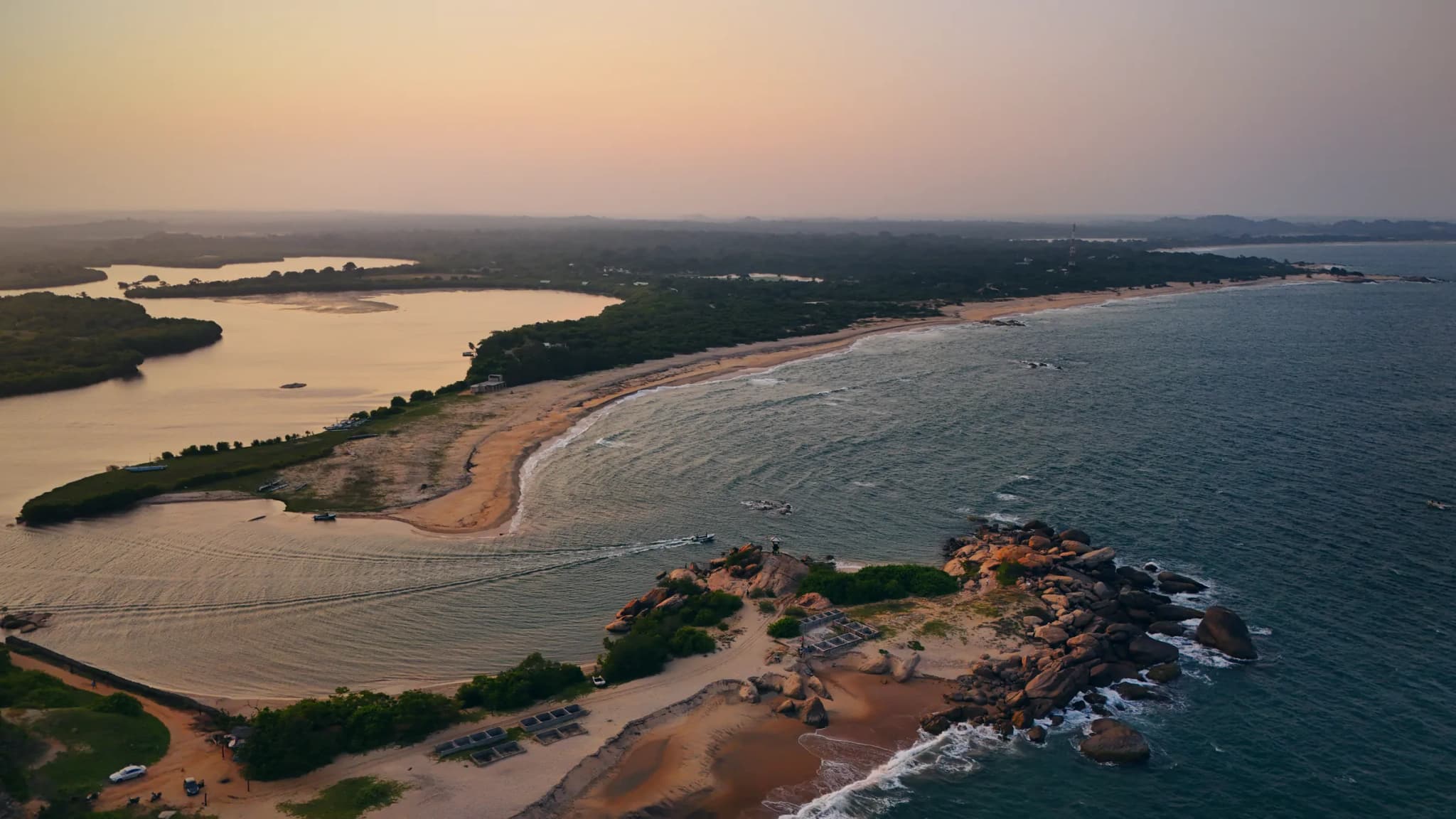
Lagoon and Beach near Arugam Bay
Ask about your shoot
Send us a message on WhatsApp. We reply within 24 hours, and often within minutes.
What to send us
- Your travel or shoot date
- The place or places in Sri Lanka
- The type of shoot, for example a trip, wedding, hotel or property
- How many hours or days you need
- What you want in the final video or photos